Mineral exploration is inherently risky, with only a few projects going into production. Given the potential risks involved, it is imperative that the proper tools are used to evaluate any project. The primary tools for identifying and ranking mineral exploration targets are geochemistry, geology, and geophysics. The objective of each exploration tool is then to provide specific discovery information upon which meaningful exploration decisions can be made, at minimum cost.
Geology
The GeoGRAFX team can create quality geologic maps from field sheets, historical data, or publicly available data. Using our knowledge of mine-scale mapping, the surface geology can be integrated with drill hole lithology to generate cross sections and deposit models.
geochemistry
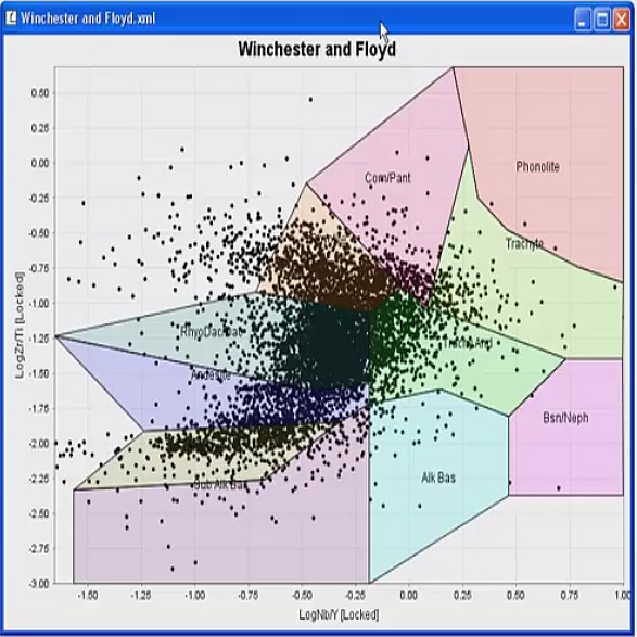
Geochemistry is an essential component for most exploration programs. Advances in the field include progressive improvements in mineral deposit models, conceptual models, ICP-ES and ICP-MS instrumentation and capabilities, and computer-based data analysis and visualization techniques. The current trend is to move from threshold determination to pattern recognition analysis to identify anomalous situations.
In the 1980s, GeoGRAFX pioneered the application of using multivariate analysis on geochemical data. These techniques have been improved with multi-element geochemical suites, updated software tools, as well as advanced classification procedures which allows a more in-depth interpretation for targeting, alteration
mineral prospectivity analysis
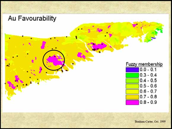
Development of greater analytical capability with geographic information systems (GIS) permit a fuller assessment of all geoscience data. Objects and attributes in data sets can now be queried to quickly find (for example) ‘all Ag deposits within 5km of northwest trending faults in a favorable horizon’.
Spatial modeling techniques, including weights of evidence, logistic regression, and fuzzy logic, have been used in a mineral
Related Projects
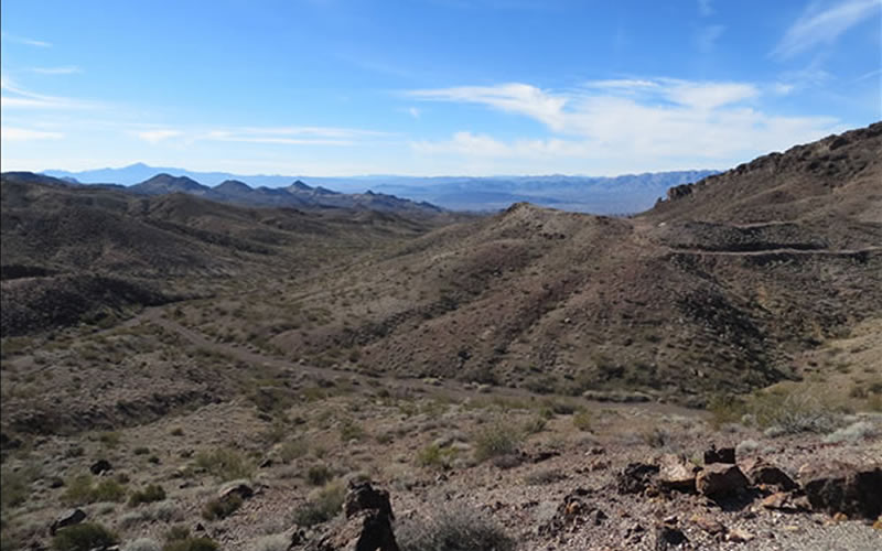
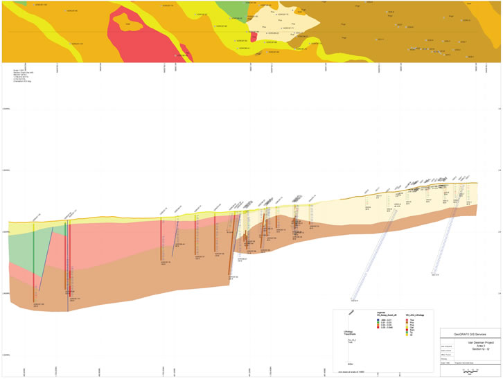
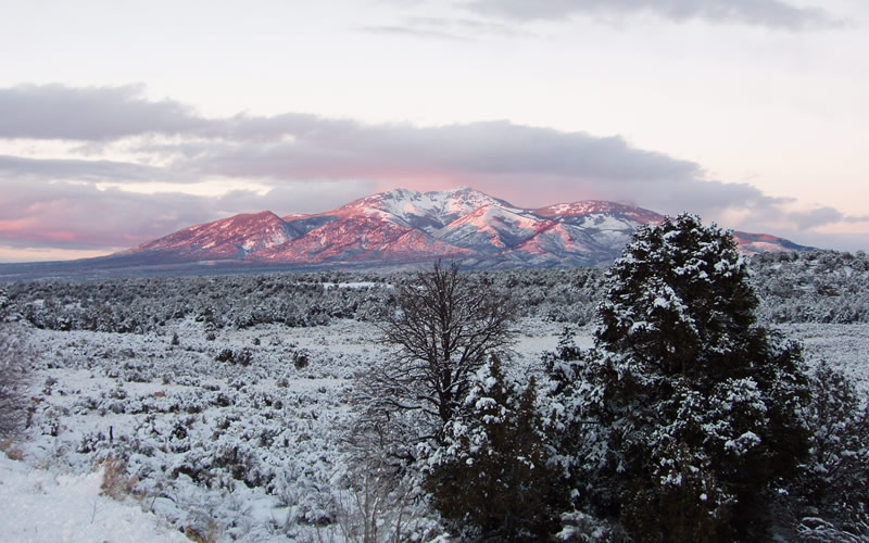
Van Deemen Au Project, AZ
The Van Deemen property is located in the Black Mountains, one of the most productive gold mining areas in Arizona. The deposit is a breccia-hosted gold deposit controlled by a detachment fault separating Tertiary age volcanic rocks from Precambrian granite.
Lisbon Valley Cu Mine Site, UT
Lisbon Valley Mining Company engages in mining copper in Lisbon Valley, Utah. Copper concentrations occur mostly as intergranular disseminations in sandstones and pebble conglomerates.
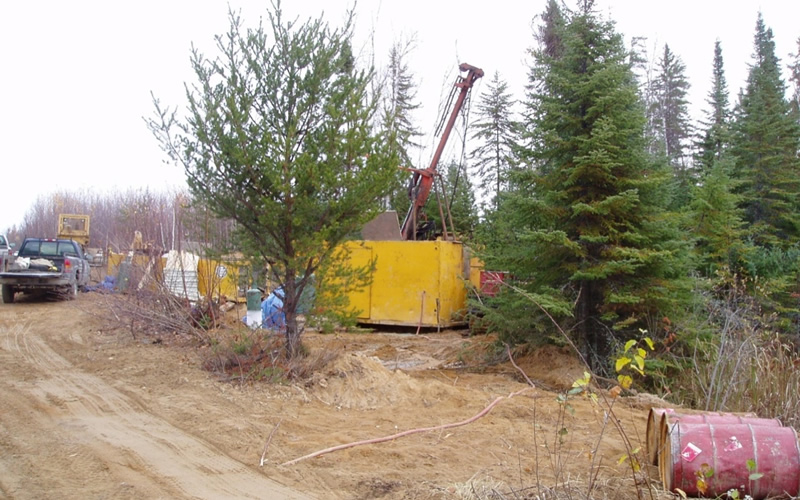
Kerrs Au Project, Ontario
The Kerrs gold property is situated in the Abitibi area of the Canadian Shield East of Timmins/Matheson Ontario. The quartz-carbonate breccia deposit is stratabound occurring at the contact of a thick, mafic pillow flow sequence overlying an ultramafic, magnetite-rich flow sequence.