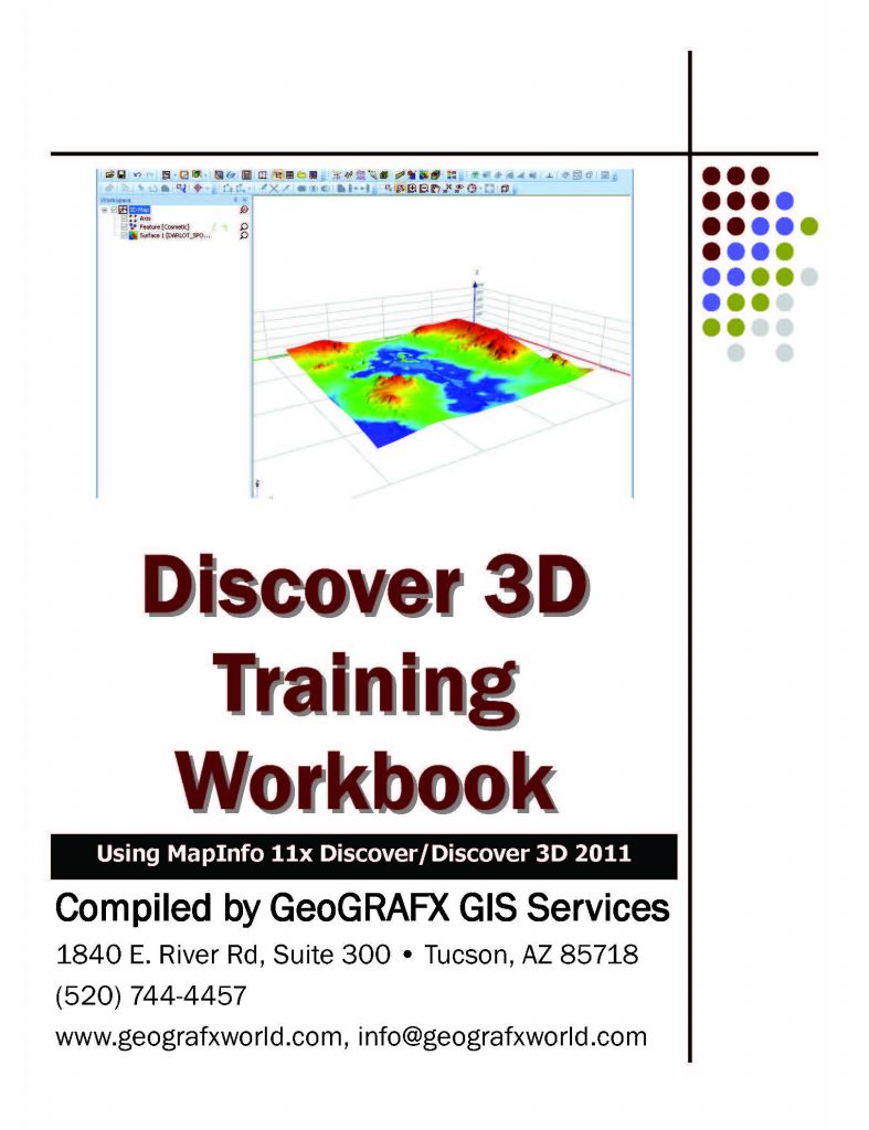
Discover 3D Training
Discover 3D turns a 2D environment into a full 3D GIS system
This two-day course is geared towards introducing clients to the Datamine Discover 3D software application. The course will cover many of the Discover Drillhole and Surfaces module options, preparing data for 3D viewing, through advanced 3D options such as Fly-Through Animation and working with Voxel Models.
Each attendee is required to provide their own laptop. An evaluation license for both MapInfo and Discover can be provided where required.
This course is recommended for clients already familiar with the concepts outlined in the previous MapInfo/Discover courses, specifically the Discover Drillhole Display, and Surface Creation utilities.
Specific Objectives:
- View Discover 3D data from Datamine Discover
- Discover 3D Interface
- Display 3D Georeferenced Bitmap Images
- Multi-Section Creator
- Display 3D Surfaces
- Display 3D Line Data
- Display 3D Point Date
- Display Vectors Over a 3D Surface
- 3D Drillhole Traces
- Adding Drillhole Sections to 3D Displays
- Adding Downhole Logs
- Display 3D Vector Objects
- Create Fly-Through Animation
- Display Voxel 3D Objects
- 3D Solid Generator
Course Description:
Click here for the complete course description.
Workbook Example
Course Duration
2 days; 8:30am – 5:000pm
Cost:
Early
$USD 850
Standard
$USD 895
Late
$USD 995
Training Centers & Dates:
| Registration | Location | Notes | Date |